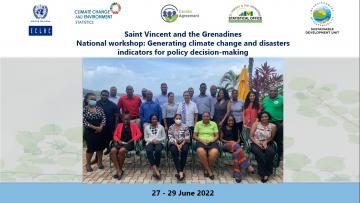
Objectives
- Train the participants to build selected environment, climate change and disaster indicators and its metadata.
- Identify data and capacity gaps to develop an Environmental Information System (EIS) and build a regional resilience platform.
- Have a better understanding of how geospatial data can enhance the use of environment, climate change and disaster indicators for effective decision making.
Expected outcomes
- At least four prioritized climate change and disasters indicators and their metadata are available at the end of the workshop.
- A selection of prioritized indicators from the Global Set of Climate Change Indicators are identified for Saint Vincent and The Grenadines.
- Follow-up steps to build further selected climate change and disasters indicators are agreed with the national focal points from the Statistical Office and the Ministry of Finance, Economic Planning and Information Technology.
Workshop presentations are available HERE
Programa

Start date
End date